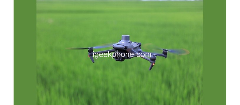
Today, DJI released the new Mavic 3M aerial survey UAV, which has a compact and portable, integrated multi-spectral + visible light imaging system, RTK centimeter-level positioning, omnidirectional obstacle avoidance, 15 kilometers of image transmission distance, and a single sortie of 3,000 acres Aerial survey and other highlights.
According to the official, DJI Mavic 3M will greatly improve the utilization rate and production efficiency of agricultural resources, making agricultural production more intelligent.
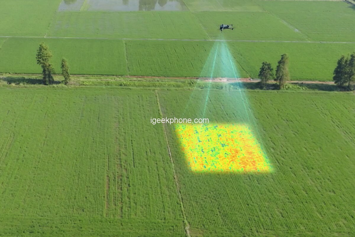
According to reports, the newly upgraded imaging system of the Mavic 3M integrates a 20MP visible light camera and four 5-megapixel multispectral cameras (green light, red light, red edge, and near-infrared). It can realize high-precision aerial surveys, crop growth monitoring, natural resource investigation, and other applications.
The multi-spectral light intensity sensor integrated with the fuselage can collect solar irradiance and record it in the image file, and can perform light compensation on the image data during the two-dimensional reconstruction process to obtain more accurate NDVI results and improve the accuracy of data collected at different time periods degree and consistency.
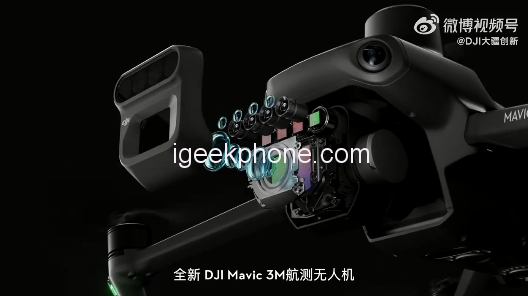
DJI Mavic 3M is equipped with an RTK module to achieve centimeter-level high-precision positioning. The flight control, camera, and RTK module are synchronized at the microsecond level, and the position information of each camera imaging center is accurately obtained so that Mavic 3M can also achieve image-free aerial survey under high-speed flight.
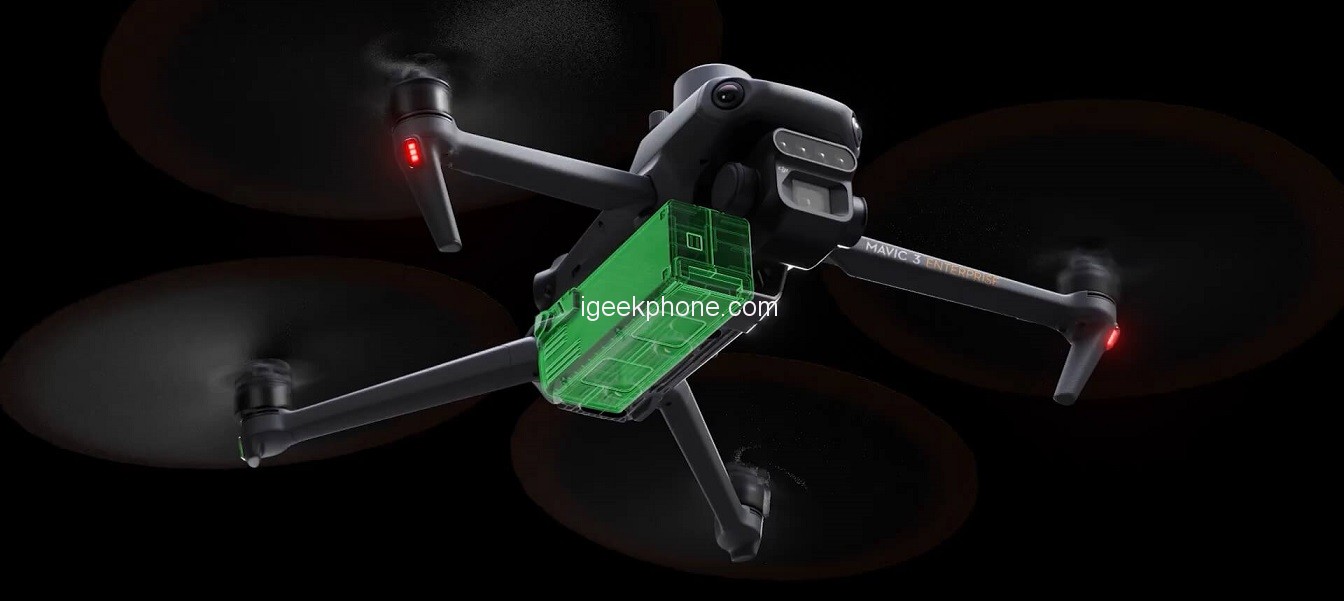
Mavic 3M has a cruising time of 43 minutes, and a single sortie can complete the surveying and mapping operations of an area of 3000 mu (2 square kilometers). The charging butler (optional) supports 100W high-energy fast charging, and the aircraft body supports 88W fast charging.
The Mavic 3M O3 video transmission integrates 2 channels of transmitting signals and 4 channels of receiving signals, supporting a super-long transmission distance of 15 kilometers. Optional DJI Cellular module, 4G enhanced video transmission and O3 video transmission industry version can work at the same time, even in the environment with mountains and buildings, it can ensure stable signal and safer flight.
The fuselage is equipped with multiple wide-angle visual sensors to accurately detect obstacles in all directions and realize omnidirectional obstacle avoidance. In the face of large-slope mountain scenes, combined with the visual sensor under the fuselage, it can directly realize the ground-like aerial survey, bringing the aerial survey efficiency of 850 mu of mountain forests and fruit trees in a single sortie.
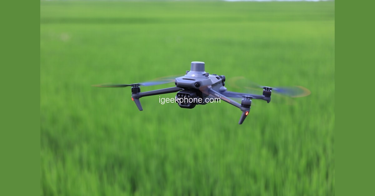
In terms of application fields, DJI Mavic 3M can be used for aerial survey of fruit trees, the guidance of precise variable operations, intelligent field patrol, environmental monitoring, and natural resource investigation. At present, DJI has not yet announced the price and time to market of Mavic 3M.
Read Also: Honor Earbuds 3i Released With 32-Hour Ultra-Long Battery Life
Do not forget to follow us on our Facebook group and page to keep you always aware of the latest advances, News, Updates, review, and giveaway on smartphones, tablets, gadgets, and more from the technology world of the future.


